Community Development Department
The City of Castle Pines was recently notified of an email scam targeting land use applicants.
These fraudulent emails appear with the City’s Office address, impersonate a member of the Planning Commission, and include project information. These emails are NOT correspondence from the City.
IMPORTANT INFORMATION:
- All correspondence from the City will be sent to you with an email address from the "@castlepinesco.gov" domain.
- All fees associated with your application will be located within the case file in SmartGov. Fees can always be paid through the SmartGov portal or check brought to the City.
- Any invoice sent from the City will come from an email address with the "@castlepinesco.gov" domain.
If you received an email or have any concerns, please reach out to your Community Development contact directly.
Community Development plays an important role in the management, preservation, and advancement of the City’s natural resources, built environment, and quality of life. The Department is comprised of three interrelated divisions that coordinate services for development activities in the City of Castle Pines. The three divisions are as follows:
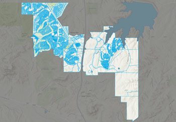
PLANNING AND ZONING
Responsible for the administration and enforcement of the City’s Zoning and Subdivision Ordinances, the implementation of the City’s Comprehensive Plan, and the processing and approval of land use permits.
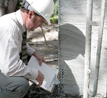
BUILDING DEPARTMENT
Responsible for the implementation and enforcement of building codes and standards, building permit services, and building inspections.
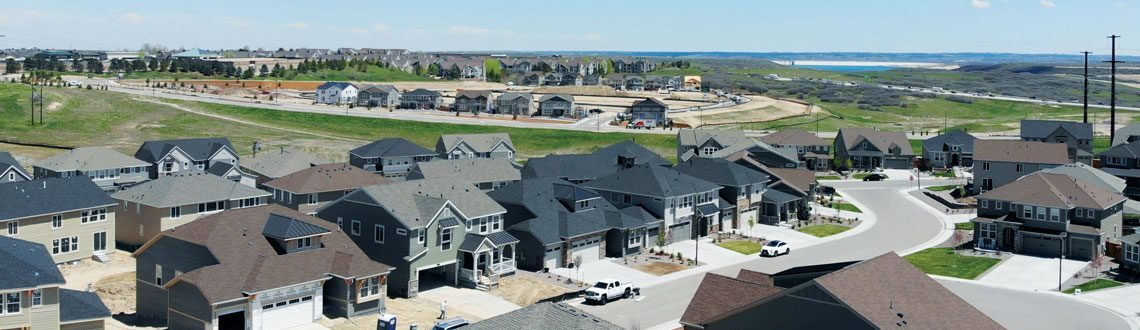
CODE ENFORCEMENT
Responsible for the enforcement of the City’s Zoning Ordinance, including, but not limited to, land use issues, fence regulations, home occupations, pets, signs, abandoned vehicles, and general public nuisances.
You will find detailed information on all Community Development activities, regulations, and requirements at the links below.